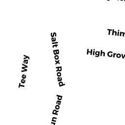
96 SALT BOX RD
Owner Information
HEALEY MARTHA B
96 SALT BOX RD
SOUTH YARMOUTH, MA 02664


Property Details
96 SALT BOX RD is classified as a SFR WATER MDL- (Cape cod).
The primary structure on this property was built in 1999. There are 9,167ft2 of built area within this property. There is 3,949ft2 of residential/living space within this property. This property is listed as having 9 rooms.
96 SALT BOX RD is valued at $1,659,400. The land is valued at $788,800 and the structures are valued at $865,300. There is an additional valuation of $5,300 on this property.
The most recent deed for 96 SALT BOX RD is recorded at the local registrar in Book 11813, Page 30. 96 SALT BOX RD was last sold on Tuesday, November 3, 1998 for $152,000.
Assessment data from fiscal year 2022.
Flood Data
This property is partially within the AE Zone (within floodplain). Approximately 0.19 acres (29.32%) of the property is within this zone.
The base flood elevation for this flood zone is 12 feet.
This information is sourced from the FEMA National Flood Hazard Layer. See our full disclamer.
Broadband Internet Providers
| Provider | Type | Bandwidth (mbps) | |
|---|---|---|---|
| Comcast | Cable | 1000 | 35 |
| T-Mobile | Fixed Wireless | 25 | 3 |
| GCI Communication Corp. | Satellite | 0 | 0 |
| HughesNet | Satellite | 25 | 3 |
| VSAT Systems, LLC. | Satellite | 2 | 1 |
| Viasat Inc | Satellite | 35 | 3 |
| Verizon New England Inc. | DSL | 10 | 1 |
Broadband service provider data from December 2020.